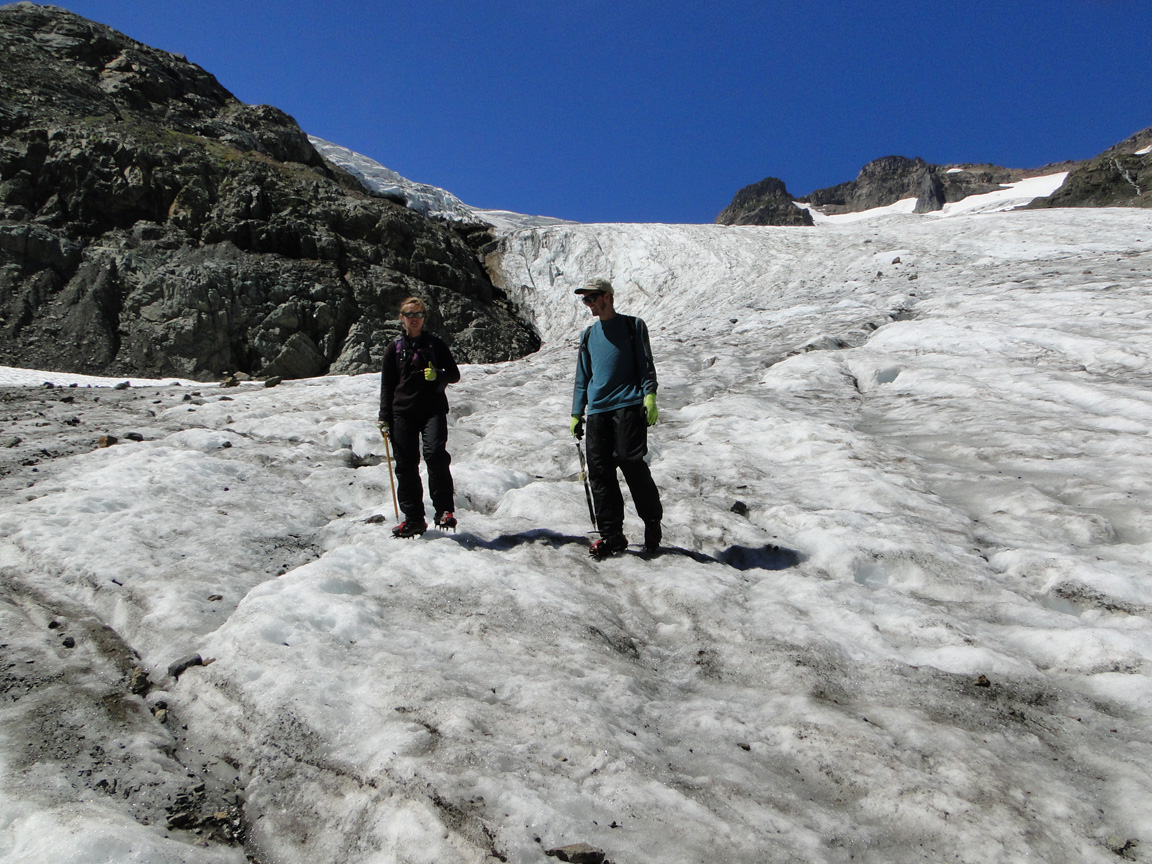
From 1984-2014 we have monitored the mass balance of the Rainbow Glacier on Mount Baker, North Cascade Range, Washington. This entails detailed monitoring of snowpack depth in July and August, and subsequent ablation to the end of the melt season. On July 13th the glacier was completely snowcovered. By August 10th the snowline had risen to 1575 m, with 1.4 m of ablation since July 13th. We measured the snowdepth at 85 locations on the glacier, with only 6 measurements exceeding 3.5 m on Aug. 10th.

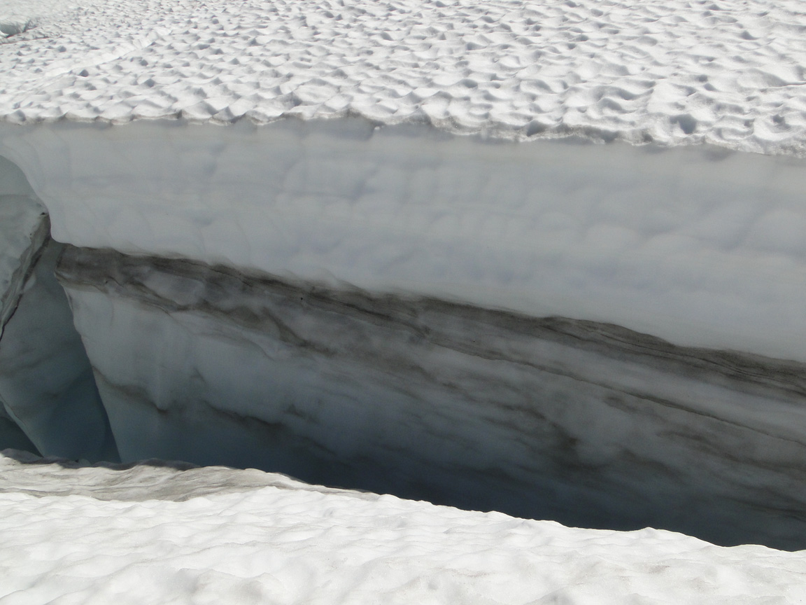


Winter snowpack was normal on Mount Baker, the record ablation then led to a large negative mass balance for the glacier of -1.8 m, but not a record loss. The ablation did lead to many significant surface streams on the glacier shown below, which drain into the glacier at moulins.
The terminus of glacier retreated rapidly from 1984 to 1998, but has slowed as it currently is in an avalanche runout zone. We visited the terminus in 1984 and all retreat is measured from that point when the glacier was in contact with an advance moraine from the 1955-1980 period of advance. A comparison of 1993 and 2006 Google Earth images indicates the retreat, red outline 2006 margin and black outline 1993. The 2014 image taken by Tom Hammond indicates that the terminus did get exposed in 2014 which will lead to additional retreat when we measure the terminus position next summer. Total retreat from 1984 to 2014 is 490 m.