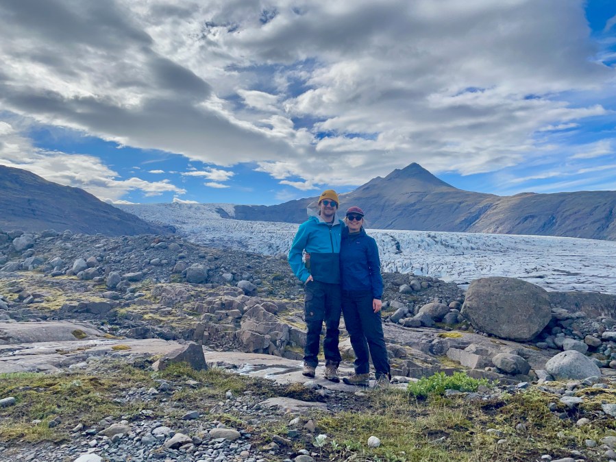

Iceland experienced an unusually warm and sunny May, with record high temperatures averaging 10 C above average. This led to a rapid rise in the snow line to elevations more typical of late June than May on the ice caps in southern Iceland, here both Vatnajökull and its southern extension Öræfajökull. We use Sentinel images (Mauri Pelto annotated) and photographs from (Jill Pelto) to illustrate. The University of Maine Sea to Sky Experience explored Iceland in May, and Jill as the artist faculty for the program had a chance to see Iceland with blue sky days.Most days during my two weeks in Iceland were full sun with high temperatures from 10-15 C. The record heatwave reaching into the low 20 C range, rare even for summer here. The lower parts of outlet glaciers already were mostly bare ice, even though melt season should not really have begun yet. Locals were shocked by the weather, and most I heard from were not happy about it, even though it was “nice” out.

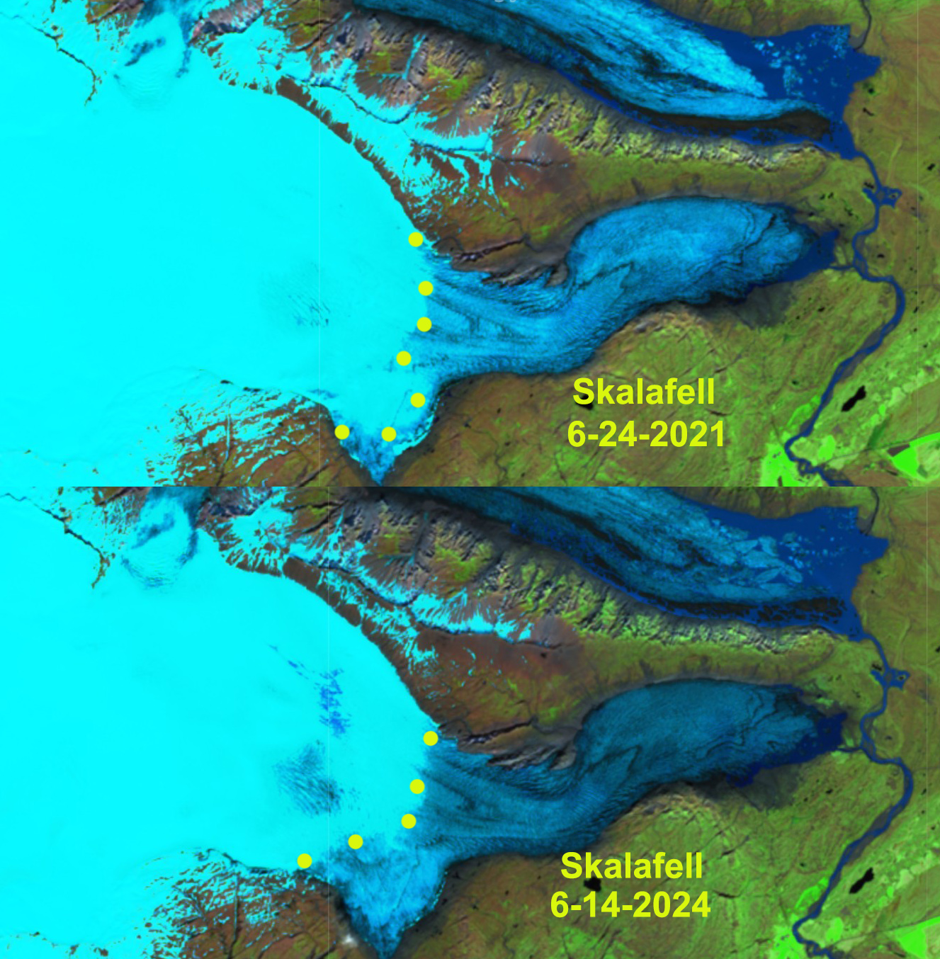
On May 20, 2025 the snow line on the southern part of the Öræfajökull Ice Cap averages 800 m, purple dots. SK=Skaftafells, SV=Svinafells, HR=Hrutarjokull, KV=Kviar, FJ=Fjalls, JL=Jokulsarlon Lagoon, H1=Southern Highway.
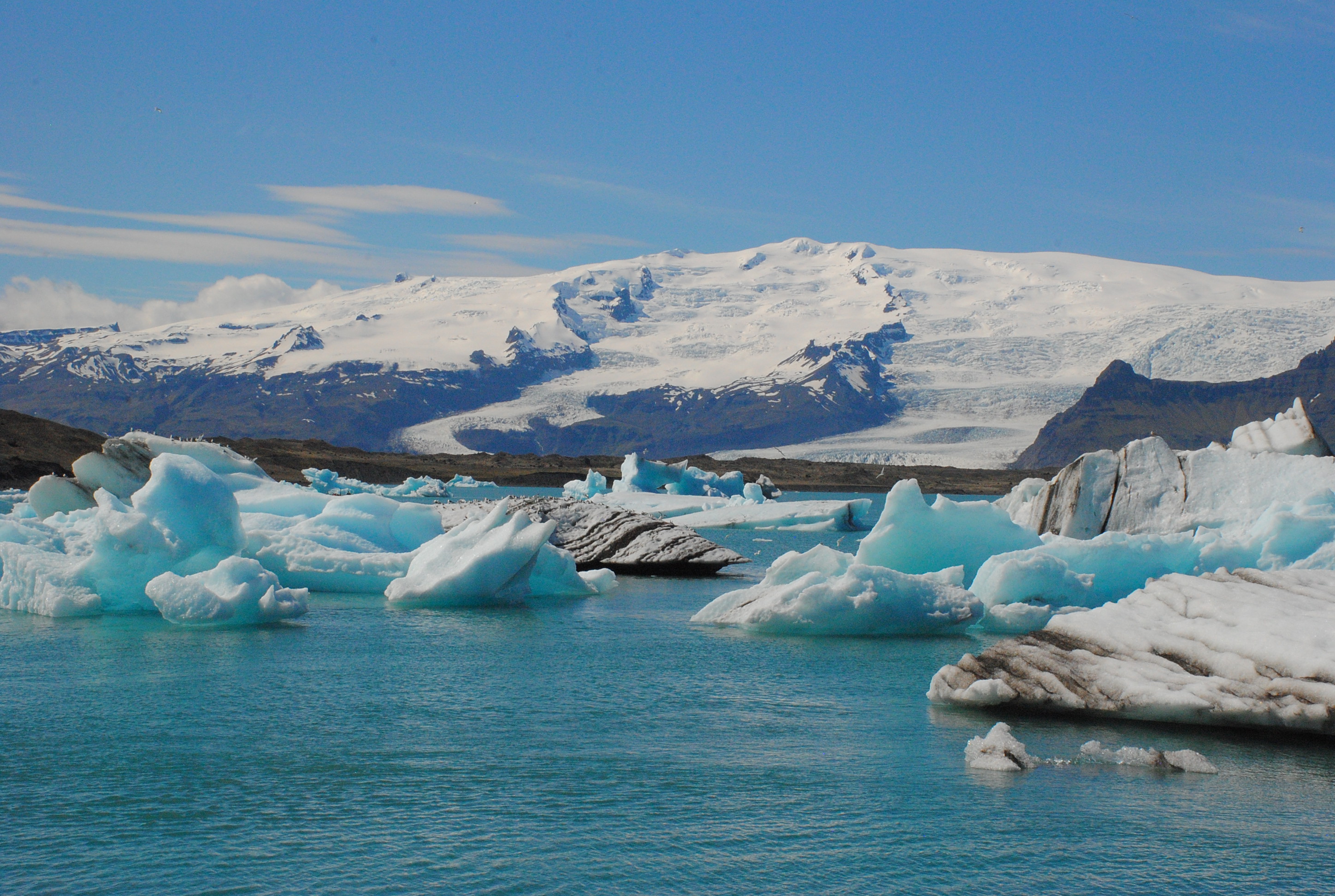
As May began conditions were typical with the snow line not far from the glacier terminus areas at 350-400 m, May 2 image of Skalafellsjökull. By May 20, the snow line had risen to 750-800 m, a rapid rise of ~400 m in three weeks, represents more than 50% of the rise that should occur by end of summer. By May 26, (Jill image) the snowline had risen further to 800 m+. This snow line elevation is above the typical elevation seen in latter June other years (see below). In 2024 all ten glaciers in Iceland had a negative mass balance (WGMS, 2025). The rapid melt in May 2025, indicates that 2025 will see similar widespread mass loss.


Wow, that rapid snow melt is really concerning!