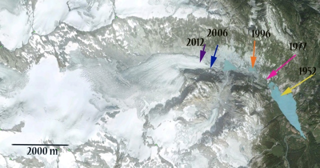
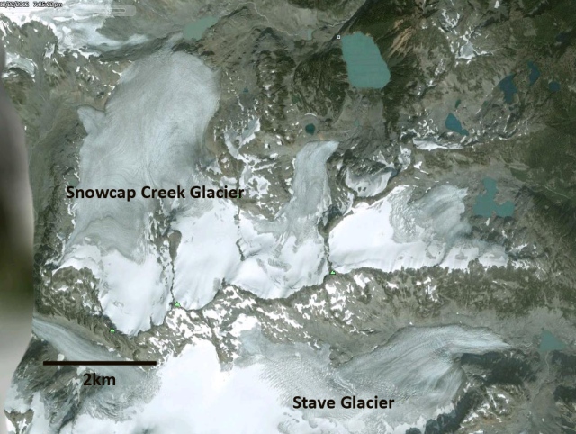
Snowcap Creek Glacier is one valley north of Stave Glacier in the Garibaldi Provincial Park Region of British Columbia. The retreat of glaciers in this region has been well documented by Koch et al (2009). The response varies from a glacier like the Helm Glacier which is melting away to the Snowcap Creek Glacier which is has been rapidly retreating but has remained vigorous.
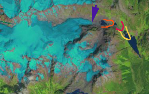
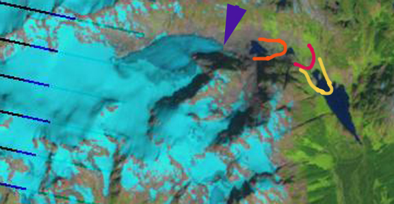
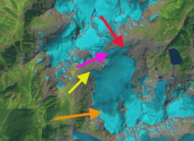
Landsat images and Google Earth images are used to document the development of a lake at the terminus of the glacier. In 1992 there is no lake at the main terminus, red arrow or subsidiary terminus at the yellow arrow. There is also a connection between the terminus and the glacier to the north at the magenta arrow. By 2009 there is a new lake at the main terminus that is 700 meters across the glacier reaches the western shore of this lake. A smaller lake has formed at subsidiary terminus, yellow arrow. The terminus is no longer connected to the glacier to the north at the magenta arrow. By 2012 the glacier has retreated 800 meters from 1992 and no longer reaches the western margin of the new unnamed lake, red arrow. The subsidiary terminus lake has expanded but is still less than 100 meters across.
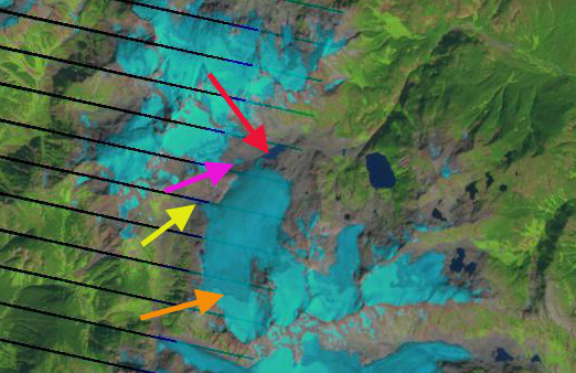
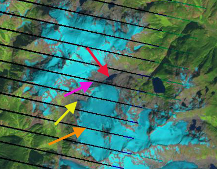
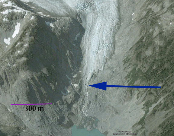
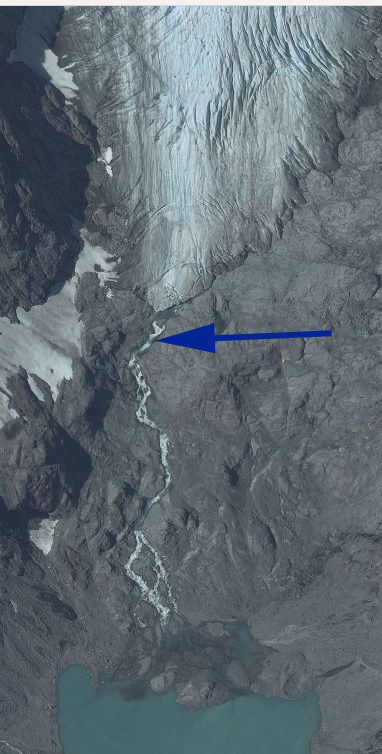
In each image the snowline is noted by a yellow-orange arrow, the glacier continues to have a persistent accumulation, which indicates it can survive current climate. A closer examination of the terminus in 2006 from Google Earth indicates the two new lakes, the detached ice remnant and active crevassing of the glacier surface close to the terminus. In 2006 the glacier terminus still reaches the newly formed lake. The active crevassing begins within 300 meters of the current terminus. The ice tongue reaching down to the lake has already retreated from it and this narrow tongue will be lost soon.