NORTH CASCADE GLACIER CLIMATE PROJECT 2021 -38th Annual Field Program

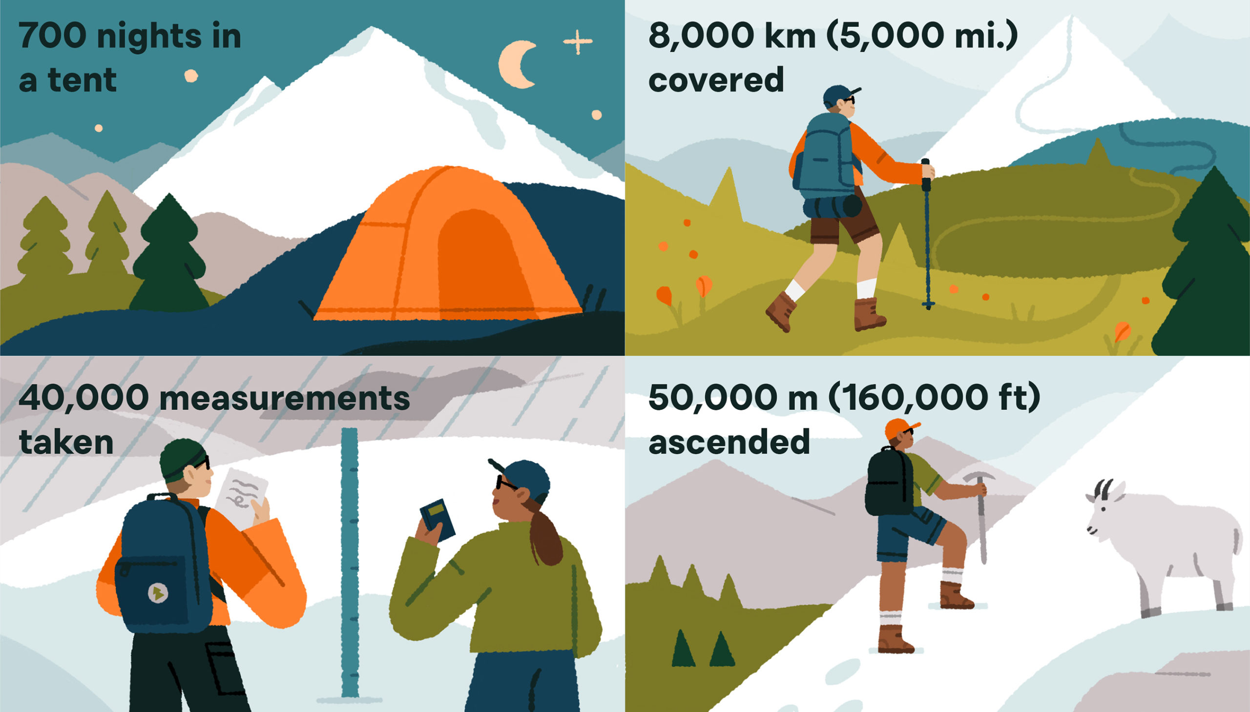
A few measures of what it takes to execute a field monitoring program of glaciers for 37 years, with no helicopter support (Illustration by Megan Pelto).

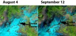
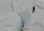
2021 Field Season: For the 38th consecutive summer we are heading into the field later this week to measure the impact of climate change on North Cascade glaciers. We will complete detailed measurements on 10 glaciers, three of which are part of the World Glacier Monitoring Service reference glacier network (42 glaciers globally) that have 30 consecutive years of mass balance observations.  This field season follows both a historic heat wave at the end of June and a month long sustained period of warm weather that has extended from Late June to now. We have observed the rise of the snow line around Mount Baker from a lower than average late June ~1200 m on June 23 to  ~1850 m on July 23, average in late July is 1750 m.  The result is a greater exposure of bare ice on glaciers with summer only half over. For ice surfaces with a higher albedo and greater density the observed melt rates are 7-9 cm/day water equivalent during warm weather events vs 4-6 cm/day for snow surfaces.  We will provide preliminary observations in three weeks when the field season is completed as we did with the 2020 Field Report.

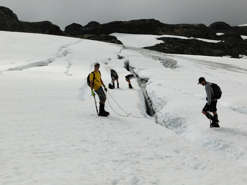
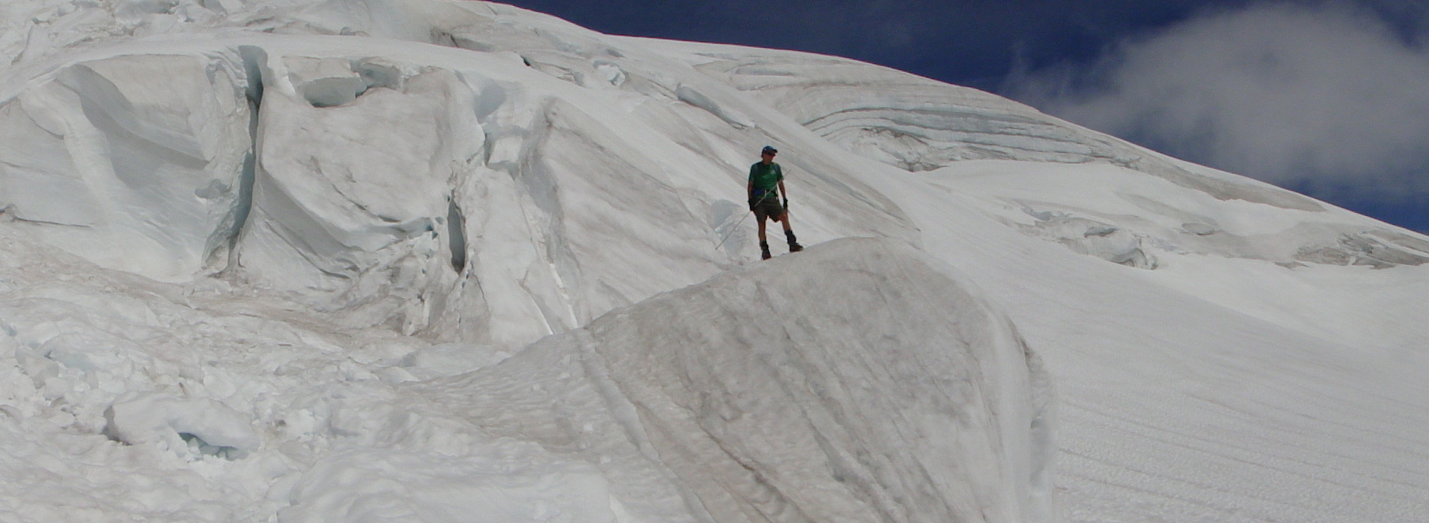
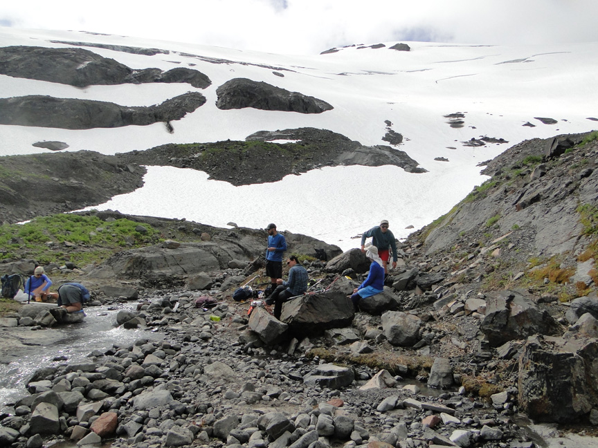
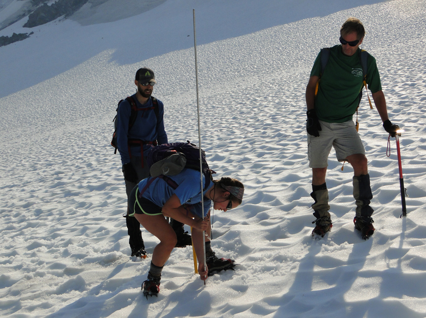
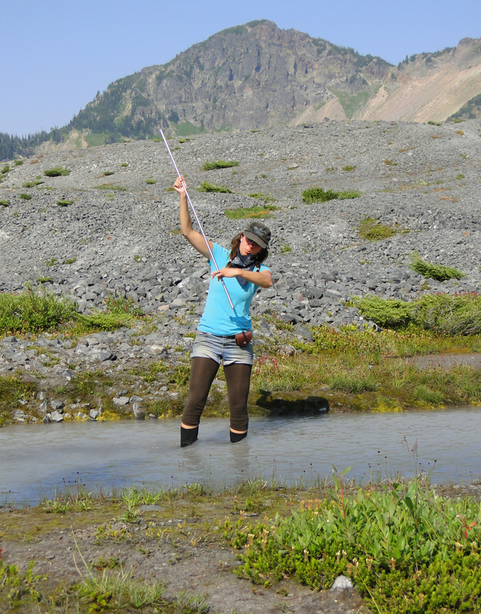
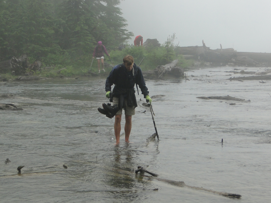
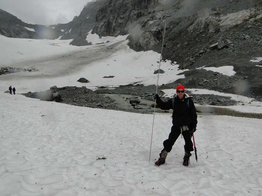
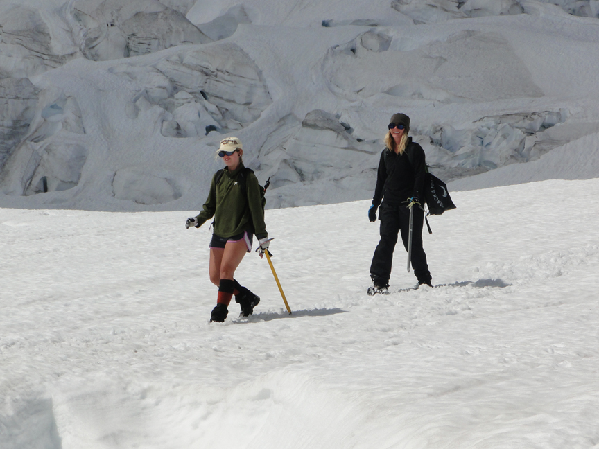
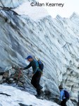
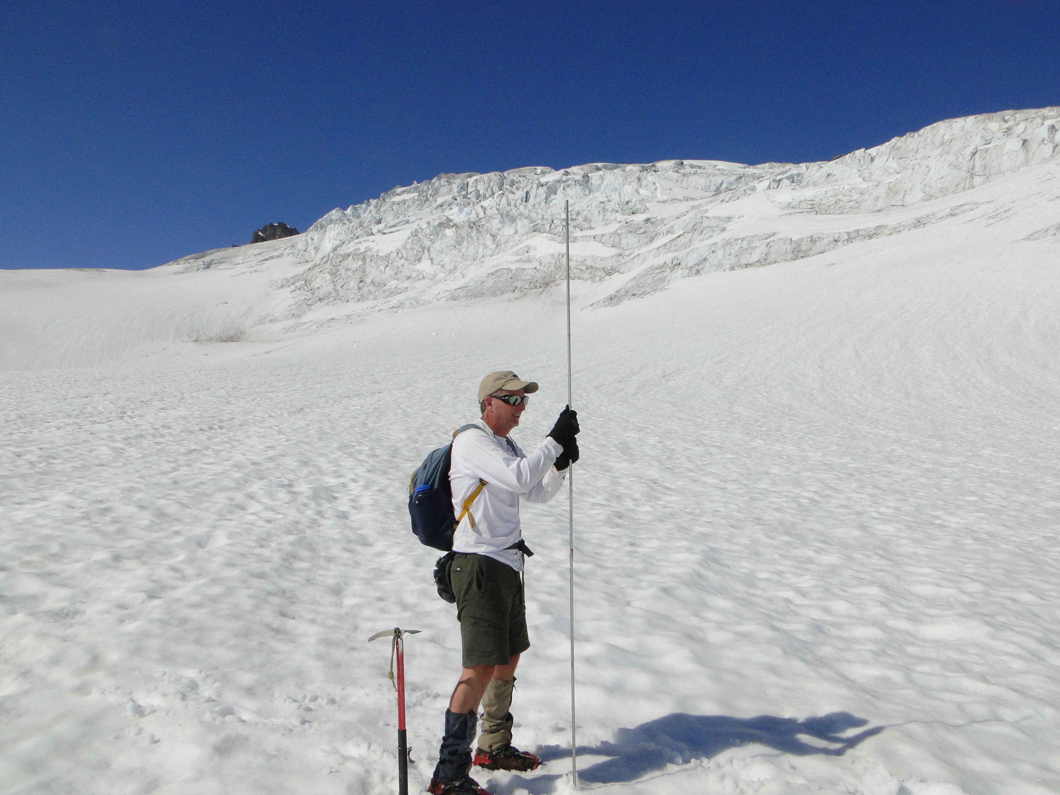
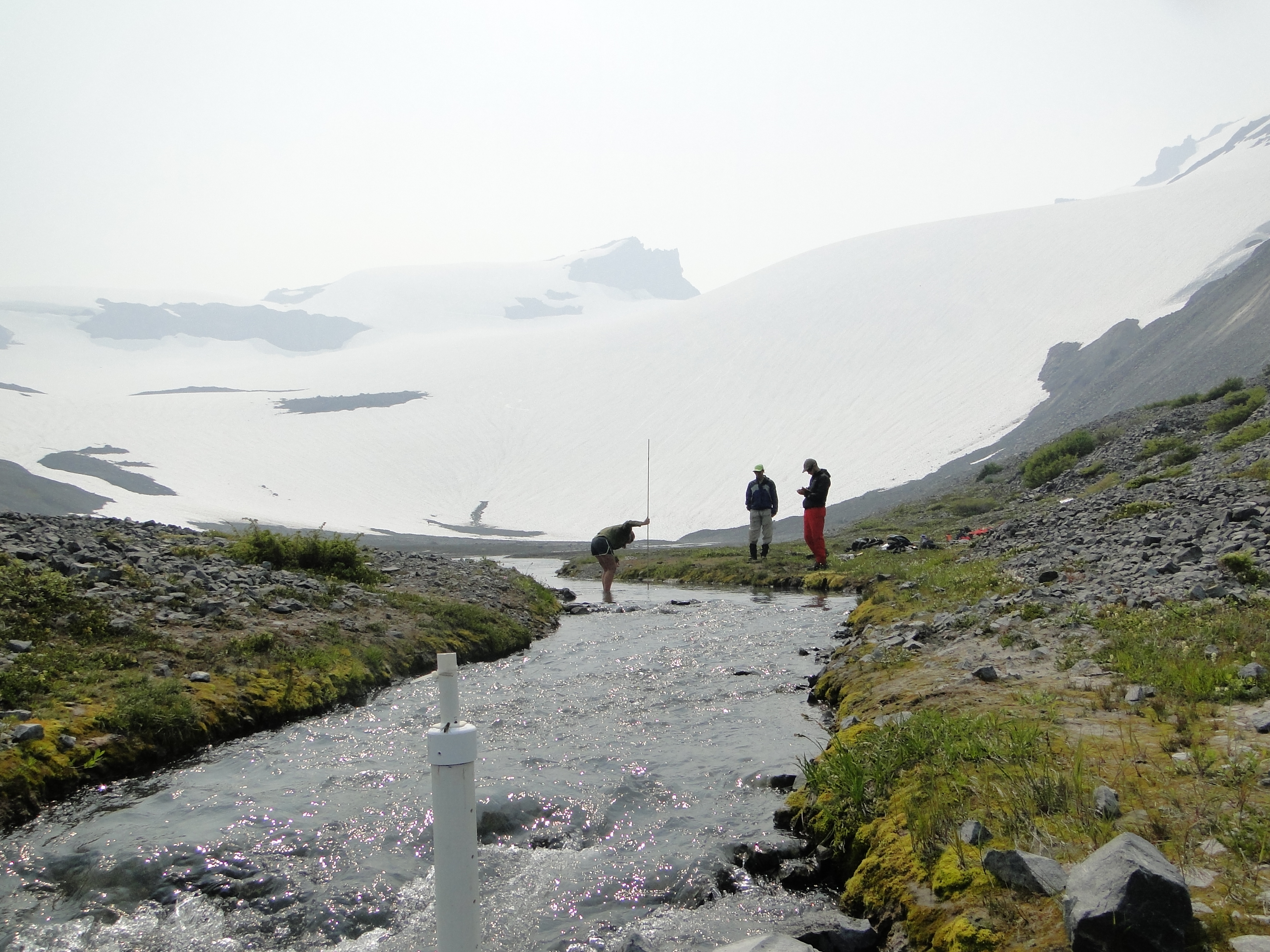
Who we are? NCGCP was founded in 1983 to identify the response of North Cascade glaciers to regional climate change, particularly changes in mass balance, glacier runoff and terminus behavior.   NCGCP is a field project that has a broader interdisciplinary scope and examines more glaciers than any other program in North America.  It does so cost effectively relying on no permanent camps, helicopter support or salaries for the director. The field season includes no days off and each day is spent completing measurements on glaciers.  The focus is on glacier mapping, mass balance measurement, terminus observations and glacier runoff monitoring.

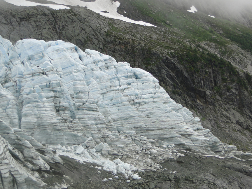
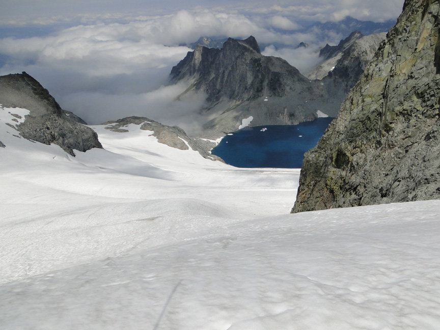
Why study glaciers in the North Cascades? Glaciers are one of the world’s best climate monitors and are a critical water resource to many populated glaciated regions. This is particularly true in the North Cascades where 700 glaciers yield 200 billion gallons of summer runoff and glaciers have lost 30 % of their area in the last century.  This has reduced glacier runoff in late summer in the region as the reduction in glacier area has been exceeded the increase in melt rate (Pelto, 2011) .
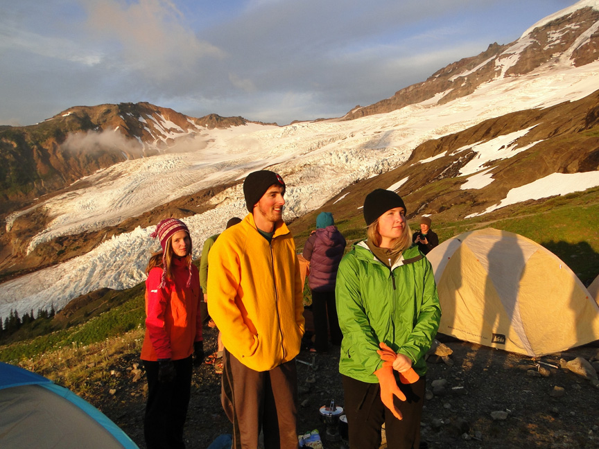
Field Team 2021:

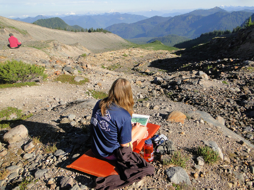
Jill Pelto is an artist and scientist from New England who grew up loving winter sports and trips to the mountains. She incorporates scientific research and data into paintings and prints to communicate environmental changes. Her multi-disciplinary work weaves visual narratives that reveal the reality of human impacts on this planet. She completed both her B.A. degrees in Studio Art and Earth and Climate Science and her M.S. focused on studying the stability of the Antarctic Ice Sheet at the University of Maine, spending two field seasons at a remote camp in the southern Transantarctic Mountains. Jill will be joining the project for her 13th field season. She is excited to continue documenting North Cascade Glacier changes that she has witnessed each of the last 12 years—through science and art.

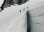
Jill Pelto sketch of Easton Glacier Icefall

Mauri Pelto has directed the project since its founding in 1984, spending more than 700 nights camped out adjacent to these glaciers. He is the United States representative to the World Glacier Monitoring Service, author of the AGU blog “From a Glacier’s Perspective”, and associate editor for three science journals.  His primary job is Dean of Academic Affairs at Nichols College, where he has been a professor since 1989.

Mauri Pelto probing on Easton Glacier

Sally Vaux (she/her) is an incoming MS student in Environmental Science at Western Washington University. Her research interests include the impacts of aerosol deposition on snow and ice melt and equitable K-12 science education. While obtaining her BS in Environmental Science from WWU, Sally began a water quality monitoring project focused on dissolved organic carbon in the Nooksack River. This summer, she is working on a NASA Space Grant project to understand how climate-driven increases in frequency and intensity of wildfires in the Arctic lead to light-absorbing aerosol deposition on sea ice and how these deposits impact ice albedo. She will also be working to adapt polar and alpine snow science into lessons for elementary and middle school students in Whatcom County, WA. Outside of school and work, Sally likes to run, ski, bike, and read.

Ashley Parks is a recent Huxley graduate from Western Washington University, Environmental Science. Growing up in Bellingham and being an avid fan of winter sports, she has been able to become familiar with the North Cascade Mountain Range, inspiring her to become interested in the glaciology of her region. As glaciers enter a period of trouble due to the climate crisis, she hopes to connect our understanding of climate change effects on local glaciers, and what that means for local communities. Ashley will also be collecting pink snow for The Living Snow project which is run out of Western Washington University in order to characterize the biodiversity of the algae in the snow and its impact on snowmelt dynamics. This summer’s goal is to be able to communicate her findings through an artistic medium that she can share with others, and to be able to gain experience with field data collection.

Field Partners 2021

Alia Khan’s, research team including grad students Sally Vaux and Shannon Healy focus on environmental chemistry in the cryosphere, including black carbon and snow algae to document global change of glacier and snow melt in mountainous and polar regions.

Western Washington University Cryosphere Studies and Aquatic Biochemistry Lab.

Rose McAdoo, is a visual artist using desserts to communicate science and make big ideas digestible. Her work pulls her between New York City, Alaska, and Antarctica — where she works as the sous chef for NASA’s Long Duration Balloon atmospheric research camp and as a member of the winter Search and Rescue team. In 2019, her edible documentation of the U.S. Antarctic Program’s field season won the attention of NPRForbes,  and — most recently — as the featured cover artist for the American Polar Society. She’s currently working as an ice climbing and glacier helicopter guide in Seward, Alaska, and is eager to further visualize the extensive research of the North Cascades Glacier Climate Project.

Cassidy Randall,  is a freelance writer covering stories that push the boundaries on how we think about environment, adventure and people exploring the bounds of human potential https://www.cassidyrandall.com/ . She’s on assignment with NCGCP for National Geographic.

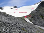
Nooksack Indian Tribe, for the 10th consecutive year we will be conducting field work aimed at providing field validation and streamflow calibration data below Sholes Glacier for the ongoing work of the tribe.

Measuring streamflow below Sholes Glacier. Forest fire haze obscuring sky

2021 Schedule

Jul 31:  Hike in Columbia Glacier
Aug. 1: Columbia Glacier
Aug. 2: Columbia Glacier
Aug. 3: Hike Out Columbia, Hike in Ptarmigan Ridge
Aug. 4:  Sholes Glacier
Aug. 5:  Rainbow Glacier
Aug. 6:  Rainbow Glacier
Aug.7:  Hike out, Hike In Lower Curtis Glacier
Aug. 8:  Lower Curtis Glacier
Aug. 9:   Hike out, Hike in Easton Glacier
Aug. 10:  Easton Glacier
Aug. 11:  Easton Glacier
Aug. 12:  Hike out Easton/Hike in Daniel
Aug. 13: Ice Worm Glacier Survey
Aug. 14: Daniel and Lynch Glacier Survey
Aug. 15: Hike out
Aug. 16:  Arrive home

North Cascade Glacier Climate Project 2014 Field Season (31st Annual) Preliminary Results

The 2014 Glacier Field season was our 31st consecutive year working on North Cascade glaciers. After a late winter surge of snowfall, the North Cascades had a slightly above average snowpack as the melt season began in early May. The warm, dry summer to date, could end up being the warmest for the region, currently 2013 was the warmest melt season. The result is glacier melt has been high overall. In the field we measured the mass balance, terminus position, surface elevation and runoff from North Cascade glaciers. This includes assessment of annual retained snow layer thickness in crevasses and overall crevasse depth.

We first examined the Easton Glacier on the south side of Mount Baker, which has now retreated 370 m since 1990. The glacier has retreated 55 m in the last two years. The most interesting change is that the western toe of the glacier has receded beyond its normal drainage channel, and there is no outlet stream from the west side of the glacier. Snowpack below 2100 m was much below normal including on the bench at 1900 m below the main icefall. Above this main icefall snowpack was closer to normal. Snowpack average 4.5 m at 2500 m, assessed in numerous crevasses. The ongoing warm conditions will continue to reduce the snowpack more than the average summer. With typical late summer conditions mass balance will be -1.1 m on Easton Glacier. The Deming Glacier debris cover has now spread across the entire terminus, retreat from 1985 to 2014 is 480 m. The snowline was at 2075 m in early August in the main icefall, which is 100 m higher than normal.
breakfast
Breakfast at camp below Easton Glacier

crevase depth
Jill Pelto assessing the depth of crevasses on Easton Glacier, her sixth year working on glaciers.

crevasse examination
Determination of annual retained snowpack depth using crevasse stratigraphy.

crevasse measure
More snowpack assessment by Ben Pelto and Justin Wright.

ashley
Ashley Edwards descending Easton Glacier lower icefall

melviewMelanie Gajewski visually examining the Easton Glacier profile.

icefall panorama
Mauri Pelto on a serac in Easton Glacier icefall, 31st year working on these glaciers.

The next stop was Helitrope Glacier on the north side of Mount Baker, where we installed of a stream gage below the Heliotrope Glacier. Oliver Grah and Jezra Beaulieu of the Nooksack Indian Tribe installed the gage while we calibrated runoff and assessed the amount of snowcover on the Heliotrope Glacier, the western extension of the Coleman Glacier, and installed ablation stakes. The rise in the snowline over the rest of the summer will identify the ablation of snowcover. The maximum snowpack on Heliotrope Glacier was less than 3.5 m, which means almost the entire glacier will lose snowpack by the end of September up to the ridge above it. The daily runoff from the Roosevelt-Coleman-Heliotrope system during our observations was an impressive 14 million cubic feet per day.The snowline was quite high on Roosevelt Glacier and Coleman Glacier at 2000 m in mid-August. The retreat of Roosevelt in particular is impressive since my first visit in 1985, a retreat has been 450 m over this interval.
heliotrope camp2
Camp at Heliotrope Glacier.

coleman Justin Wright on the Coleman Glacier

helitrope gage
Oliver Grah installing stream gage below Heliotrope Glacier.jill probing Jill Pelto probing snowpack.

Continued warm dry weather led to records numbers of hikers at Artists Point as we headed out Ptarmigan Ridge on the northeast side of Mount Baker to work on Rainbow Glacier and Sholes Glacier. During our first day the east wind pushed forest fire smoke into the area eliminating views. We surveyed the mountain goat herds as usual seeing three herds and a total of more than 60 different goats. With the high temperatures and forest fire haze the number of iceworms emerging at sunset during our population count was also an all time low. Rainbow Glacier had snowpack that was 1.25 m below normal. With typical late summer conditions mass balance will be -1.5 m on Rainbow Glacier. Sholes Glacier already had 15% blue ice exposed, on August 7th. This had expanded to 25% by August 12th. This rapidly expanded to 50% by August 23rd, note Landsat comparison below. It will be 60% by the end of August and then likely close to 80% loss by the end of the summer. With typical late summer conditions mass balance will be -1.6 m on Sholes Glacier. Remember glaciers in this area need 60% snowcover at the end of the melt season to balance their frozen checkbook. On Sholes Glacier we completed 118 measurements of 2014 snowpack depth via probing in this relatively crevasse free glacier.
mountain goatsA herd of 48 mountain goats.

sholes probing snowpack
Snowpack probing on Sholes Glacier.

sholes overvieew 2014 Looking at Sholes Glacier from outlet where stream gage is installed.

sholes outlet
Sholes Glacier outlet with the clearer surface melt runoff versus the turbid basal meltwater stream.

ashley streamflowAshley Edwards measuring streamflow.

sholes landsat 2014
Landsat 8 iamges from 8/7/2014 and 8/23/2014-red line is boundary of bare blue glacier ice where the 2014 snowpack has been lost.

jill sketch Jill Pelto sketching in camp.

megan sketchMegan Pelto sketching in camp.

penstemon Jill’s field sketch of glacier runoff with Penstemon in foreground.

coffeepotMegan’s field sketch of glacier input to rising sea level.

We then headed to Lower Curtis Glacier, on Shuksan where the rain gods had their turn. That night we had one of the top three heaviest rainstorms I have experienced during my 31 years and 600+ nights camping in the North Cascades. Totals by morning exceeded 4 inches. Rain continued lightly during the day, making for a foggy day on the glacier. The avalanche danger was too high due to the warm temperatures even with the rain to survey the terminus. The main basin of the glacier had limited areas with snowpack over 2.8 m, which is how much is needed in mid-August to survive to the end of the melt season. With typical late summer conditions mass balance will be -1.1 m on Lower Curtis Glacier
The forecast of a one day rain event was now extended to two more days. We hiked up to Blanca Lake in the rain, woke up in the rain, hiked to the glacier in the drizzle and completed our measurements. The rain returned during the hike around the lake to camp. Snowpack was low around the lake, on the trail in and seemingly everywhere but on the glacier. Strong avalanching made this the first glacier even close to average in its snowpack. Snowpack was low in the highest basin of the glacier that is not as heavily avalanche fed. With typical late summer conditions mass balance will be -0.6 m on Columbia Glacier. The warm weather was evident in the temperature of the water being much warmer than usual in the stream ford that is required to reach the glacier.
lower curtis 2014 profile Annual layers of the Lower Curtis Glacier terminus.

ben stream Surface stream assessment, Ben Pelto

wet funBen Pelto in his tenth year working on the glaciers, fording stream in wet weather to access Columbia Glacier.

columbia 2014 snowpackSnowpack on Columbia Glacier limited blue ice.

columbia glacier july 20 2014 Blanca Lake and Columbia Glacier.

On Mount Daniel the first surprise was that Deep Lake had changed from the normal blue to a jade green. This was due to the heavy rain, even east of the crest, the previous three days, which also caused the Cle Elum River to be quite high, though the water was also warm. Having hiked passed this lake each of the last 30 years this is the first time it was not a deep blue color. It will be interesting to see how long it is until the color reverts to normal. We hiked up the Daniels Glacier to the main summit of Mount Daniel, then descended the Lynch Glacier before reascending the Lynch Glacier. Both glaciers had below normal snowpack and considerable blue ice exposure. With typical late summer conditions mass balance will be -1.2 m on Lynch Glacier and -1.1 m on Daniels Glacier. Neither glacier receives much avalanche snow. The following day on Ice Worm Glacier snowpack was above normal on the lower half of this small glacier, clearly because of unusually large amounts of avalanche accumulation. The top half of the glacier had 1-2 m of snowpack that will be lost by mid-September. With typical late summer conditions mass balance will be -0.5 m on Ice Worm Glacier lynch glacier downview
View down the Lynch Glacier.

daniels overview
Daniels Glacier vieww

ice worm glacier Ice Worm Glacier viewed across terminus melt pond

marmot ptarmigan
Marmot near camp.

Overall North Cascade glaciers will lose considerable volume. The volume lost is less on glaciers in the southern portion of the range and those with high percentages of avalanche accumulation.

easton profile
Easton Glacier profile.

easton icefall2
Easton Glacier icefall

icefall exit
Melanie Gajewski and Megan Pelto below icefall.

2014 North Cascade Glacier Field Season, 31st consecutive year.

This is the 31st consecutive field season for the North Cascade Glacier Climate Project. This project begun in 1984 monitors the response of North Cascade glaciers to climate change and monitors the mass balance of more glaciers than any other program in North America. This entails measuring mass balance, terminus position, surface elevation changes and glacier runoff. This is done with a combination of field measurements and satellite imagery. The unique aspect is we use no helicopter or outside support, everything is backpacked in by us. This summer our main focus will be continued work with the Nooksack Indian Tribe particularly Oliver Grah and Jezra Beaulieu, who have worked with us in 2012 and 2013. We are quantifying the role of glacier runoff on conditions for salmon in the Nooksack River. The critical aspect of this is underscored by our findings on the impact on stream discharge and temperature. Our utilization of satellite imagery and ground truth measurements caught the attention of NASA last summer. We will continue our annual mass balance survey of 10 glaciers, terminus survey of which ever glaciers have exposed termini, mountain goat survey on Ptarmigan Ridge and ice worm survey on Sholes Glacier. What we do is march around each glacier and measure the snow accumulation, ablation, survey the terminus and elevations across the glacier, then head back to our tents for the night.  We will look to again combine our field data with Landsat 8 imagery.

Selected Posts on the glaciers we will be observing.  There will be no new posts for three weeks during the field season.

Columbia Glacier, Washington**********************Deming Glacier, Washington
Lower Curtis Glacier Annual Survey, Washington*****Easton Glacier Assessment, Washington
Mount Baker Mass balance, Washington**********Ptarmigan Ridge Glacier, Washington
Rainbow Glacier, Washington********************Daniels Glacier, Washington
Nooksack Basin********************************Mount Baker Glacier Mass Balance


The snowpack on June 1 was quite normal at glacier elevations in the North Cascades. The peak mean snow depth is typically on May 10th, but this year it was May 3rd. An El Nino is forecast to begin during the fall, though the forecast is not robust. This typically leads to warm conditions in the North Cascades. June and July have been warm and dry leading to forest fires east of the Cascade Crest, snow levels have dropped below normal by July 1, and a warm July had led to more exposed ice on the glaciers than usual. The field crew for 2014 consists of scientists and visual artists. The value of the scientific data from this program, the most extensive in monitoring glaciers in the United States continues to increase as the time series extends. It is equally evident that the data does not speak for itself to most people. This year we will have an additional focus on production of video and illustrative art that tells the story of glacier change in a different fashion. The goal will be to weave the four threads of science, nature, video and illustrations into the most compelling narrative we have produced.

Mauri Pelto:
The director of the project for 31 years and also the US representative for the World Glacier Monitoring Service. This includes more than 600 nights in a tent in the North Cascades measuring glaciers.

Ben Pelto
Ben has finished his MS at UMASS-Amherst in geosciences and will be heading to University of Northern British Columbia in the fall for a doctoral program. This will be his tenth year working in the North Cascades. He has also worked on glaciers at the summit of Mount Kilimanjaro and has taken part in scientific drilling voyage on the USCGC Healey in the Arctic Ocean.

Jillian Pelto:
Jill is a senior double major in Earth Sciences and Art at UMaine. She will be spending her sixth year in the field on North Cascade glaciers. This year she also worked in the Dry Valleys of Antarctica with a research team from the University of Maine and UC-Davis.

Ashley Edwards:
Is a senior in geology at Central Washington University, and has worked as an Aquatic Ecologist in Alaska. Most importantly is an avid skier.

Justin Wright Is a senior at Oregon State University. He has worked as a web developer before getting smart and going into the earth sciences. He has worked and climbed on Mount Saint Helens and Mount Adams.

Tom Hammond
Has spent portions of 11 field season with us. And visits one of our glaciers at the end of each melt season. He is Vice President of the North Cascades Conservation Council. He is also Project Manager at the University of Washington in the Information Technology and Services area.
Tom was in the Cascades for a spring avalanche assessment and has a report on it at NCCC


Visual Crew consists of

Melanie Gajewski, Videographer
Melanie has just graduated with a degree in business at Nichols College and is enrolled in the MBA program. At Nichols College she directed most of the TV commercials used by the college in the last two years. Her aim is to be a videographer specializing in Environmental Awareness issues. She is an avid hiker, this is a first trip to glaciers.

Welcome to Visual – Melanie Gajewski from Visual Communications on Vimeo.


Megan Pelto, Illustrator:

Megan is a senior in the Illustration program at Savannah College of Art and Design. She has an extensive camping background, but this will be a first visiting the glaciers.

Jillian Pelto, Painting and Printing: I a senior Art major at University of Maine.

Hike into Easton Glacier
Survey Easton Glacier terminus and Lower Bench
Survey Upper Easton Glacier
Hike out Easton Glacier-Hike in Heliotrope
Heliotrope Glacier survey
Hike Out Heliotrope- Hike in Rainbow Glacier
Sholes Glacier Survey
Rainbow Glacier Survey
Hike out Rainbow Glacier-Hike in Lower Curtis Glacier
Lower Curtis Glacier Survey
Hike out Lower Curtis Glacier; Hike in Columbia Glacier
Columbia Glacier survey
Hike out Columbia Glacier
Hike in Mount Daniels
Ice Worm Glacier Survey
Mount Daniels Survey
Lynch Glacier Survey
Hike out Mount Daniels