Glacier Index List
Below is a list of the individual glacier posts examining our warming climates impact on each glacier. This represents the first 2.5 years of posts, 166 total posts, 152 different glaciers. I have worked directly on 39. The others are prompted by fine research that I had come across, cited in each post or inquiries from readers and other scientists. I then look at additional often more recent imagery to expand on that research. The imagery comes either from MODIS, Landsat, Geoeye or Google Earth.
North America
Columbia Glacier, Washington
Lyman Glacier, Washington
Boulder Glacier, Washington
Ptarmigan Ridge Glacier, Washington
Anderson Glacier, Washington
Milk Lake Glacier, Washington
Paradise Glacier, Washington
Easton Glacier, Washington
Redoubt Glacier, Washington
Honeycomb Glacier, Washington
Vista Glacier, Washington
Rainbow Glacier, Washington
Daniels Glacier, Washington
Colonial Glacier, Washington
Quien Sabe Glacier, Washington
Mazama Glacier
Fairchild Glacier, Washington
White Glacier, Washington
Banded Glacier, Washington
Borealis Glacier, Washington
Hinman Glacier, Washington
Lower Curtis Glacier
McAllister Glacier, Washington
Lewis Glacier, Washington
Kennedy Glacier, Washington
Bridge Glacier, British Columbia
Washmawapta Glacier, British Columbia
Bubagoo Glacier, British Columbia
Hector Glacier, Alberta
Helm Glacier, British Columbia
Melbern Glacier
Warren Glacier, British Columbia
Castle Creek Glacier, British Columbia
Hoboe Glacier, British Columbia
Tulsequah Glacier, British Columbia
Decker and Spearhead Glacier, British Columbia
Columbia Glacier, British Columbia
Freshfield Glacier, British Columbia
Apex Glacier, British Columbia
Devon Ice Cap, Nunavut
Penny ice Cap, Nunavut
Minor Glacier, Wyoming
Grasshopper Glacier, Wyoming
Fremont Glacier, Wyoming
Grasshopper Glacier, Montana
Harrison Glacier, Montana
Sperry Glacier, Montana
Hopper Glacier, Montana
Old Sun Glacier, Montana
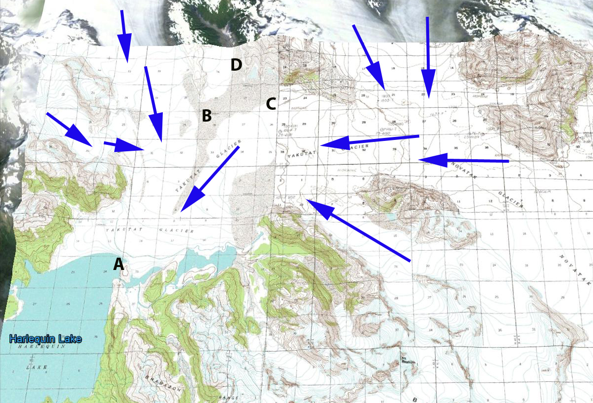
Yakutat Glacier, Alaska
Grand Plateau Glacier, Alaska
Eagle Glacier, Alaska
Gilkey Glacier , Alaska
Gilkey Glacier ogives, Alaska
Lemon Creek Glacier, Alaska
Taku Glacier, Alaska
Bear Lake Glacier, Alaska
Chickamin Glacier, Alaska
Okpilak Glacier, Alaska
Sawyer Glacier, Alaska
Antler Glacier, Alaska
Field Glacier
East Taklanika Glacier, Alaska
Brady Glacier, Alaska
Brady Glacier Retreat lake expansion 2004-2010
Thiel Glacier, Alaska
New Zealand
Tasman Glacier
Murchison Glacier
Donne Glacier
Mueller Glacier, NZ
Gunn Glacier, NZ
Africa
Rwenzori Glaciers
Himalaya
Zemu Glacier, Sikkim
Theri Kang Glacier, Bhutan
Zemestan Glacier, Afghanistan
Khumbu Glacier, Nepal
Imja Glacier, Nepal
Gangotri Glacier, India
Milam Glacier, India
Satopanth Glacier, India
Kali Gandaki Headwaters, Nepal
Menlung Glacier, Tibet
Boshula Glaciers, Tibet
Urumquihe Glacier, Tibet
Sara Umaga Glacier, India
Dzhungharia Alatau, Kazakhstan
Petrov Glacier,Kyrgyzstan
Hailuogou Glacier, China
Europe
Mer de Glace, France
Dargentiere Glacier, France
Grand Motte and Pramort Glacier Tignes Ski area, France
Saint Sorlin, France
Sommelier Glacier
Obeeraar Glacier, Austria
Ochsentaler Glacier, Austria
Pitzal Glacier, Austria
Dosde Glacier, Italy
Maladeta Glacier, Spain
Presena Glacier, Italy
Triftgletscher, Switzerland
Rotmoosferner, Austria
Stubai Glacier, Austria
Ried Glacier, Switzerland
Cavagnoli Glacier, Switzerland
Chuebodengletscher and Ghiacciaio-del-Pizzo-Rotondo
Forni Glacier, Italy
Peridido Glacier, Spain
Engabreen, Norway
Midtdalsbreen, Norway
TungnaarJokull, Iceland
Gigjokull, Iceland
Skeidararjokull, Iceland
Kotlujokull, Iceland
Lednik Fytnargin, Russia
Rembesdalsskaka, Norway
Hansbreen, Svalbard
Nannbreen, Svalbard
Hornbreen and Hambergbreen, Svalbard
Roze and Sredniy Glacier, Novaya Zemyla
Irik Glacier, Mount Elbrus, Russia
Greenland
Mittivakkat Glacier
Ryder Glacier
Humboldt Glacier
Petermann Glacier
Kuussuup Sermia
Jakobshavn Isbrae
Umiamako Glacier
Kong Oscar, Glacier
Upernavik Glacier
Sortebrae Glacier, Greenland
South America
Colonia Glacier, Chile
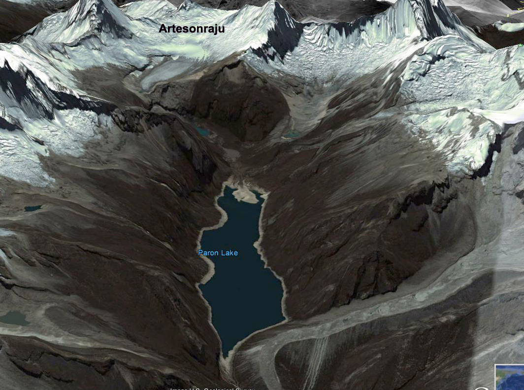
Artesonraju Glacier, Peru
Nef Glacier, Chile
Tyndall Glacier, Chile
Zongo Glacier, Bolivia
Llaca Glacier, Peru
Seco Glacier, Argentina
Onelli Glacier, Argentina
Quelccaya Ice Cap, Peru
Glacier Gualas, Chile
Antarctica and Circum Antarctic Islands
Pine Island Glacier
Fleming Glacier
Hariot Glacier
Amsler Island
Stephenson Glacier, Heard Island
Neumayer, South Georgia
Ampere, Kerguelen
Nordenskjold Coast, Antarctic Peninsula
Prospect Glacier, Antarctic Peninsula
Ross Hindle Glacier, South Georgia
Vega Island Ice Cap
North Cascade Glacier Climate Project Reports
Forecasting Glacier Survival
North Cascade Glacier Mass Balance 2010
Columbia Glacier Annual Time Lapse
North Cascade Glacier Climate Project 2009 field season
28th Field Season Schedule of the North Cascade Glacier Climate Project
North Cascade Glacier Climate Project 2011 Field Season
BAMS 2010
2011 Glacier mass balance North Cascades and Juneau Icefield
Taku Glacier TSL Paper