Quelccaya Ice Cap (QIC) is located in the tropical Andes of southeast Peru. Along with Coropuna Ice Cap it is one of two large ice caps in the area. Lamantia et al (2024) observed a 37% decline overall QIC area from 1985-2022, and a 57% decline in snow covered area. They observe snow cover is particularly limited during El Nino events. Here we examine the particularly high snowline and resulting minimum snow cover on QIC in 2024.

The 2023-24 winter season featured El Nino conditions. During spring 2024 El Nino ended and neutral conditions persisted through summer. By late August 2024 the snowline on QIC averaged 5500 m (false color Sentinel Image). By late September 2024 the snowline had risen to ~5600 m, leaving the southern 1/3 and eastern arm of QIC with no snow cover, Landsat image. Overall snowcovered area dropped to ~25%, much below the 75% needed to maintain the ice cap (Lamantia et al. 2024). Despite a few minor snow events that briefly covered the ice cap, in late October the snowline had returned to 5600 m with ~25% snow cover. This is the least extensive snow cover since satellite images allow for mapping in 1984, falling below 10km2 . This is lower than the mininmum of ~15 km2 observed in 2023, which along with 1986 and 2016 had featured the lowest snow covered area on QIC (Lamantia et al. 2024). During this late summer period much of ablation is from sublimation (Fyffe et al 2021).
The high snow line elevation of 2024 exposing the majority of the ice caps glacier ice surface, which melts more rapidly than snow cover, leads to rapid thinning and volume loss.
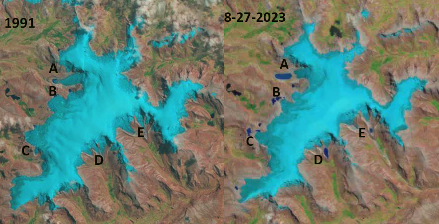
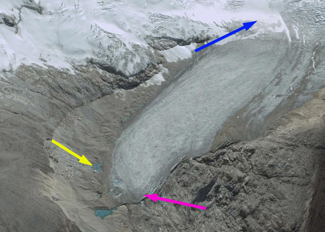
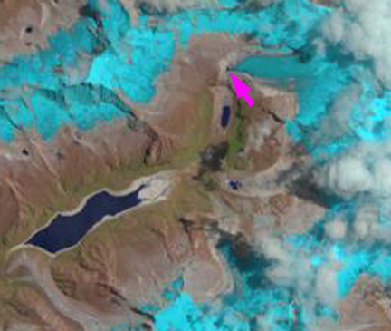
The series of lakes that began to develop after 1991 at the margin of the QIC have expanded, and now are separating from the retreating ice margin.